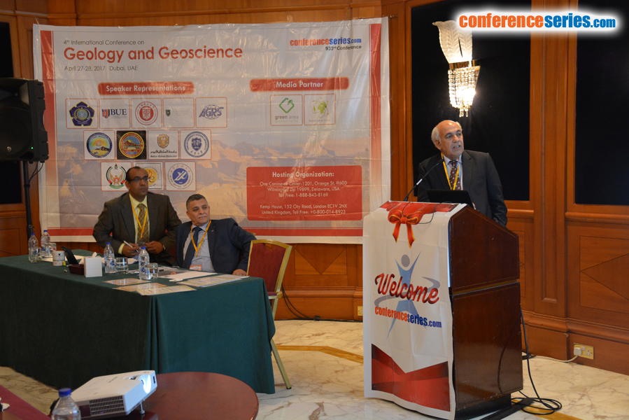
Viqar Husain
University of Karachi, Pakistan
Title: Spatial and temporal changes in salinity of arable lands in Shah Bandar Tehsil, Thatta District, Sindh
Biography
Biography: Viqar Husain
Abstract
The cultivable lands are reducing significantly in hot and dry arid regions of the world due to soil salinity and sodicity and resulting in yield losses. Similarly, the coastal Shah Bandar Tehsil of Thatta district is also severely affected by different levels of soil salinity and sodicity. The topography of the area is uneven, so ill drained depressions and saline creeks are common. The area was worst affected by floods of 2010 and 2011 and flood water was kept standing for several months causing waterlogging. Irrigation is done with perennial and non perennial canals in the area as groundwater is highly saline. In order to identify spatial and temporal variations in soil salinity and sodicity, 48 soil samples were collected from six sites of Shah Bandar Tehsil during post- and pre-monsoon seasons of 2011-2013. Physicochemical data show that average pH of soil ranged between 7.4 and 7.8 during post- and pre-monsoon seasons of 2011-2013 and the soil salinity (ECe) and sodicity (SAR) ranged between 1.09 to 47.10 dS/m and 2.43 to 43.79 respectively during post-monsoon seasons. During pre-monsoon seasons, EC and SAR ranged from 2.30 to 65.8 dS/m and 3.12 to 50.51 respectively. Thus, soil salinity and sodicity vary in post- and pre-monsoon seasons due to arid climate, high evapotranspiration and fallow lands due to reduced flow of freshwater and seawater intrusion in the area. Data show that the soil quality improved significantly in areas affected with floods of 2010 and 2011.
Speaker Presentations
Speaker PDFs
Speaker PPTs Click Here


