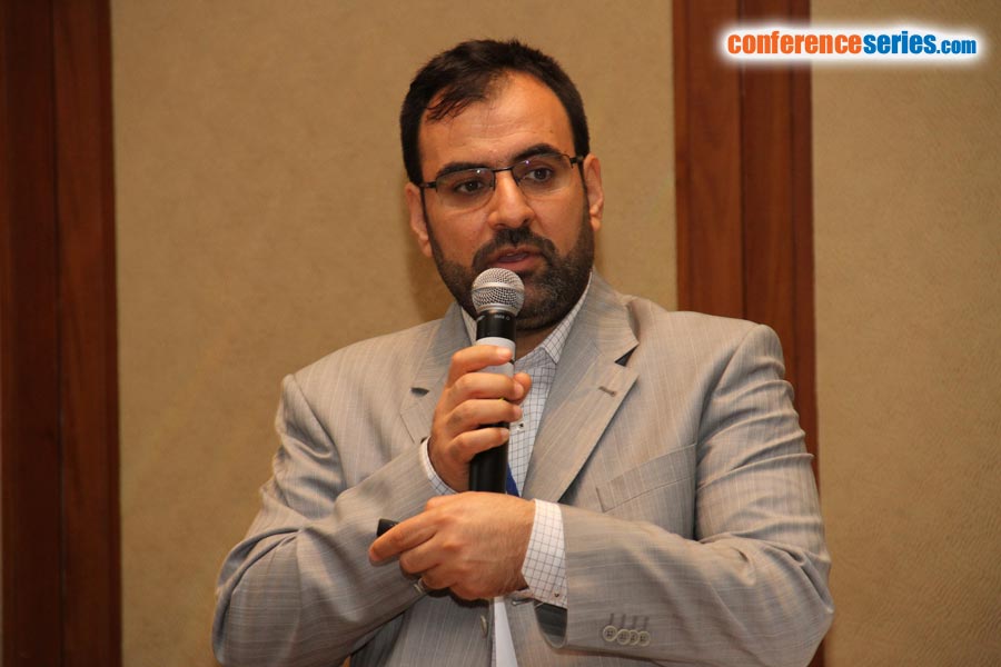
Recep Çelik
Dicle University, Turkey
Title: GIS based assessment effect of irrigation on groundwater level changes in agricultural areas: A case study on the Bismil plain in the Upper Tigris Basin
Biography
Biography: Recep Çelik
Abstract
In the recent years, the use of groundwater in agricultural areas for irrigation is being increased rapidly. Unconscious usage of water for irrigation threatens groundwater reserves. There is no need of discussing the importance of the groundwater resources. Economic activities at Bismil, a district of the Diyarbakir province, depend mainly on agriculture and animal husbandry in the Upper Tigris Basin. Tigris River lies through the middle part of the Bismil plain. Bismil plain agricultural irrigation is obtained especially from groundwater by wells. And at coasts of Tigris River, irrigation is provided by pumping the water directly from the river during the irrigation session. However, the consumption more than feeding of the groundwater resources poses a serious threat for the groundwater resources. For this reason, the changes in the groundwater levels have been studied using the data relevant to the water wells during the last 15 years. Three hundred and sixteen wells drilled for watering purposes between the years, 1996-2011 have been examined. The drilling data was ranked with the aid of Microsoft Excel software, and the coordinates have been arranged accordingly. These data were run on the ARC Map software. The data that have been converted to shape (shp) format have been modelled through Spatial analyze.
Speaker Presentations
Speaker PDFs
Speaker PPTs Click Here


